Stuart's Giant: The 2.7 Kilometre Man Nobody Admits to Drawing
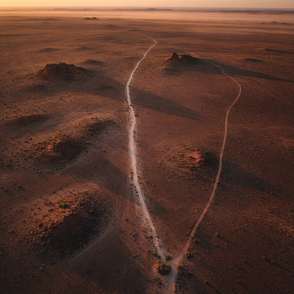
The pilot saw it first, which is the only way anyone could have seen it. On 26 June 1998 a charter flight was crossing the gibber plains of northern South Australia, running from the small town of Marree toward the opal fields of Coober Pedy. Below the aircraft the country is close to featureless: red stone, low scrub, dry salt country, a landscape that offers a pilot nothing to look at for an hour at a stretch. Then the plateau west of Marree slid under the wing and there was a man carved into it, holding a stick or a boomerang above his head, striding north.
He was 2.7 kilometres tall. The outline that made him ran for 28 kilometres and enclosed about 2.5 square kilometres of desert. The lines were up to 35 metres wide and cut 20 to 30 centimetres into the crust, deep enough that the paler soil underneath stood out against the dark stone from the air. Nothing about the figure was visible from the ground. A person standing on one of the lines would see only a wide, shallow scrape running off toward the horizon.
At that scale the figure ranks among the largest images ever cut into the surface of the earth. The best known animal figures on the Nazca plain in Peru measure a few hundred metres across. The Great Serpent Mound in Ohio, which the anonymous letters would later invoke, runs about 400 metres. The man on the plateau is nearly seven times that in height alone, and unlike either of those he was made in a fortnight by someone using a machine. He is shown in mid stride with one arm raised, and most descriptions read the object in his hand as a hunting stick or a boomerang, although the outline is spare enough that even this is interpretation rather than fact.
The location was Finniss Springs, roughly 60 kilometres west of Marree and about 12 kilometres northwest of the siding at Callanna. One rough track gives access. There is no cover, no settlement, no reason for anyone to be there.
Satellites narrowed the window quickly. Archived images from NASA's Landsat-5 showed the plateau undisturbed on 27 May 1998 and the completed figure in place by 12 June. Whoever did the work did it inside sixteen days, in the open, in winter, using what surveyors who later examined the lines identified as earthmoving machinery guided by satellite positioning. A grader or a bulldozer had to be brought in and taken out. Fuel had to be carried. Someone had to hold a plan accurate enough that a figure the size of a city stayed in proportion across almost three kilometres of stone.
Nobody reported seeing any of it. The police investigation found no useful evidence on the single track, and no landholder, road worker, tourist or stockman came forward to say they had passed heavy equipment heading out to a plateau where there was nothing to build.
Then the messages began. In July and August 1998 anonymous faxes and press releases reached media outlets and the pub at Marree. They named the figure "Stuart's Giant," a reference to John McDouall Stuart, the Scottish explorer who crossed the continent in the 1860s. What made the faxes strange was the language. They spoke of "your State of SA," of the "Queensland Barrier Reef," of Aborigines "from the local indigenous territories," and they mentioned the Great Serpent Mound in Ohio. Australians do not write like that. Americans trying to describe Australia do.
On 16 July someone found a small glass jar in a freshly dug hollow near the figure. Inside were a satellite photograph of the geoglyph and a note bearing a small American flag, with a reference to the Branch Davidians, the religious group whose siege at Waco in Texas had ended five years earlier. In January 1999 a further fax told officials where to dig for a plaque buried about five metres south of the figure's nose. The plaque was there. It carried an American flag three centimetres by two, an imprint of the Olympic rings, and a line of text: "In honour of the land they once knew. His attainments in these pursuits are extraordinary; a constant source of wonderment and admiration." The words were lifted from The Red Centre, a 1946 book by the naturalist Hedley Finlayson, describing the hunting skill of Pitjantjatjara men.
The reaction on the ground was not wonder. The figure had been cut into country under active native title claim, by someone with no permission from anyone. A Dieri group complained publicly of harm and exploitation and called for the image to be erased and its maker prosecuted. Lawyers for other claimants noted that the area held sites of archaeological interest. The state environment minister called it environmental vandalism. A senior Aboriginal affairs official called it graffiti. In late July 1998 the South Australian government closed the site. In 2012 the Federal Court recognised native title over the country for the Arabana people.
For a while it looked as though the desert would settle the argument on its own. The lines softened, filled and faded year by year. In August 2016, with the consent of the Arabana Aboriginal Corporation, a group of local business owners who valued the figure as a tourist draw brought in a commercial grader, loaded the original coordinates into satellite navigation, and spent five days redrawing the outline exactly where it had been. The Marree Man visible today is a restoration of a shape whose author is still unknown.
In June 2018, twenty years after the discovery, the entrepreneur and aviator Dick Smith announced that his own team had spent two years investigating the origins of the figure and had got nowhere. He offered a reward of five thousand Australian dollars for information identifying the creators. The South Australian government made a point of stating that no prosecution would follow. The reward has never been claimed.
Conclusions and Open Questions
The most persistent theory attaches to an artist. Bardius Goldberg, who lived in Alice Springs and worked on a large scale in the landscape, was named by acquaintances who said he had spoken about making the figure. He never confirmed it publicly and died in 2002 at sixty one. One friend later said that Goldberg understood satellite technology, had access to earthmoving equipment, and that suspicion had fallen on him from the beginning without anyone being able to prove it, adding that if anyone was capable of it, it was him. The strength of this account is that it comes from people who knew him and that it fits his practice. Its weakness is that it rests entirely on recollection. No machinery, no contract, no fuel receipt and no photograph has ever been produced, and nothing explains why an artist from central Australia would salt his own work with American flags.
The second theory takes those flags at face value. The Woomera rocket range and its associated defence facilities lie in the same part of the state, and American personnel worked in the region. On this reading the geoglyph was made by people connected to those facilities, which would account for the American spelling, the reference to a monument in Ohio, and the Olympic rings looking ahead to Sydney in 2000. The weakness is obvious and was pointed out at the time: an American flag in a buried jar is exactly what someone who was not American would plant. Misdirection costs nothing, and no agency has ever acknowledged any involvement.
A third possibility is the least romantic and the hardest to dismiss. The job needed a machine, fuel, days of daylight and a surveyor's plan, which almost certainly means more than one person knew about it, and possibly a commercial motive in a district that has since discovered the figure is worth money in tourism. What argues against it is time. Nearly three decades have passed. There is a cash reward on the table and a government statement that nobody will be charged. Groups of people who know something this good rarely stay quiet under those conditions.
Several questions remain entirely open. How machinery worked for days on an exposed plateau served by one track without a single sighting has never been explained. Why the maker went to the trouble of anonymous faxes, a buried jar and a commemorative plaque, all of which invite attention, and then never claimed the work, is stranger still. And there is a question the first reports mostly skipped: a figure of an Aboriginal hunter was cut into land held under native title by someone who asked no one, and the traditional owners were left to argue about whether to erase it or live with it. That part of the case is not a mystery at all. It is simply unresolved.