Disputed

The Piri Reis Map: What a 1513 Fragment Really Shows — and What It Doesn't

2026-06-22 · Impossible Objects · 8 min read

The winter light in Istanbul is thin and grey, and in 1929 it fell on crate after crate of manuscripts stacked in the vaulted rooms of Topkapi Palace, where the Ottoman sultans had ruled for close to four centuries. The sultanate had just been abolished, and the palace was being turned into a museum of the young Turkish republic. Halil Edhem Eldem, director of the national museums, had invited a German theologian named Gustav Adolf Deissmann to help survey the library, and Deissmann in turn persuaded the Rockefeller Foundation to fund the preservation of its oldest manuscripts. Somewhere in that dim archive his hand closed on a piece of gazelle skin, torn raggedly down one edge, painted with coastlines, small ships and the spoked wheels of compass roses. He could not read the Ottoman Turkish crowded into its margins. He could see that it was very old, that it was a map, and that the writing kept returning to a name with no obvious business in a Turkish palace: Colombo.

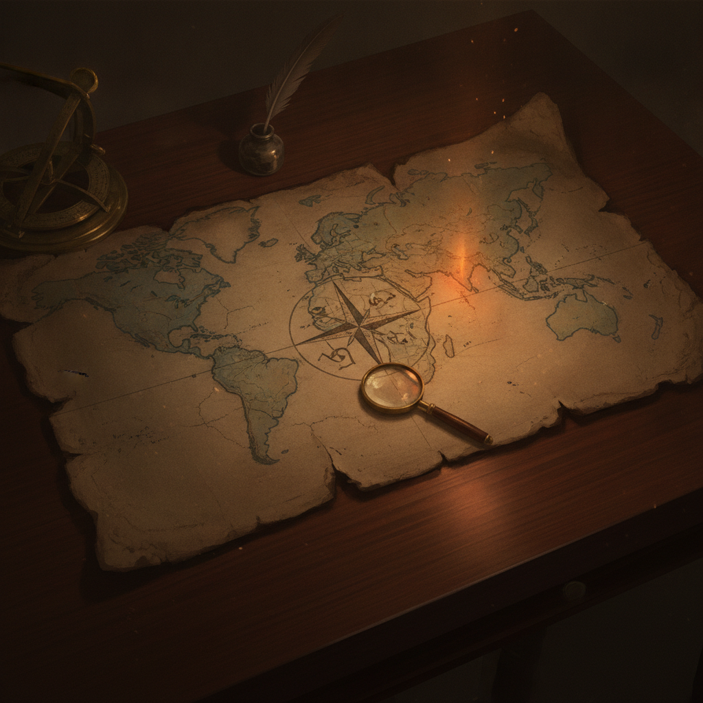
What Deissmann had found was the surviving third of a world map drawn in 1513 by Piri Reis, an Ottoman admiral. The fragment measures roughly ninety by sixty-three centimetres. Across it run about a hundred and seventeen place names and some thirty inscriptions, all but one of them written in the Turkish of Piri Reis's day. It is one of the earliest surviving maps to show any part of the Americas. For a document that spent four hundred years folded away in a palace it is remarkably intact, dense with parrots, mountains, ships and the small careful handwriting of a man explaining his own working method.

The mapmaker had learned the sea as a young corsair sailing under his uncle Kemal Reis, and he would later compile the Kitab-i Bahriye, one of the great navigational manuals of the age. In 1517 he presented the finished map to Sultan Selim the First in newly conquered Cairo. Over the following decades he rose to command Ottoman fleets in the Red Sea and the Persian Gulf. In 1528 he drew a second world map, of which only a sliver survives, showing the North Atlantic and part of the American coast. At the end of his life, an old man well past eighty, he was beheaded on the sultan's order after abandoning a stalled campaign against the Portuguese at Hormuz.

What lifts the 1513 fragment above decoration is that Piri Reis explains himself on it. In the inscriptions he sets out his method with a frankness rare for the period. He compiled the chart, he says, from roughly twenty older sources: eight maps descending from the geography of Ptolemy, an Arab map of India, four recent Portuguese charts of the eastern seas, and a map drawn by Christopher Columbus himself. He names the categories, he explains which coasts came from which tradition, and he tells the reader where his knowledge stops.

He adds one stranger detail. Some of what he knew of the new western lands, he writes, came from a Spanish sailor, a prisoner taken by Kemal Reis, who claimed to have voyaged three times to those coasts with Columbus. The prisoner is described only in that note. He has no other name in the historical record and no other appearance anywhere else.

The losses around the map matter as much as the map itself. Not one of the twenty source charts has ever been found. Columbus's own maps of his discoveries are entirely lost. That combination means this torn Ottoman fragment is the closest surviving echo we possess of how the man who crossed the Atlantic in 1492 drew the world he believed he had reached.

Scholars grasped the point quickly. When the orientalist Paul Kahle announced to a congress in 1931 that the Piri Reis chart preserved material from a lost map by Columbus, the implication was immediately clear. News of the Atlantic crossings had travelled the length of the Mediterranean and into an Ottoman workshop within twenty years, and a trace of Columbus's own cartography had been sitting, all that time, in Istanbul. The map records the exact decade in which the European picture of the earth was being torn open and redrawn, with Piri Reis in Gallipoli trying to stitch the old world and the new onto a single skin.

The fragment covers the Atlantic. Along its eastern side run the coasts of Iberia and West Africa. Along its western side lie the Caribbean islands, drawn large and crowded with notes, and the coast of South America running southward. At the bottom of the sheet that South American coast does something unexpected. Having run south as one expects, it bends hard to the east and continues as a long shore reaching away toward the edge of the parchment, connected rather than open. No inscription on the map names that shore, no legend explains it, and no gap is left where a strait should be.

Ad

What is missing is larger than what survives. The sheet is the western portion of a full world map, and the remaining two thirds, which would have carried Europe, the interior of Africa, Asia and the Indian Ocean, have never been found. Across the surviving section run the radiating rhumb lines of the portolan tradition, straight bearings thrown out from compass roses so that a navigator can lay a course between them. That geometry is the working apparatus of a sailing chart rather than an ornament, and it sits alongside the drawings of parrots, mountains and ships under sail, and alongside the blocks of inscription in which Piri Reis addresses his reader directly. The document is at once an instrument, a picture and an argument.

The map is still kept at Topkapi. It is now too fragile for permanent display and is brought out into the light rarely and briefly. It has been photographed, reproduced in facsimile and studied in detail, and the single most reproduced feature of it, in a century of reproduction, is that bend at the bottom of the sheet.

Conclusions and Open Questions

In 1965, in a book called Maps of the Ancient Sea Kings, an American academic named Charles Hapgood proposed an answer to the bend that has haunted the map ever since. He argued that the eastward-turning shore is Antarctica, drawn free of its ice, and he matched the outline to Queen Maud Land, reporting the correspondence as uncanny. His case rests on two real things: the coast genuinely does bend in a way that invites explanation, and the map genuinely does rest on lost sources, which leaves room for the imagination to work. Its weakness is severe. The claim requires Antarctica to have been ice-free within human memory, so Hapgood leaned on his own separate theory of sudden crustal displacement, a wholesale slippage of the earth's outer shell, which mainstream geology rejects. The Antarctic ice sheet is not thousands of years old but millions.

The geologist Paul Heinrich sharpened the objection into something harder to escape. Hapgood, he pointed out, compared the map to the shape of Antarctica's bedrock as revealed by modern radar, that is, the land as it lies crushed and depressed under the weight of the ice. A genuinely ice-free Antarctica would not look like that, because once the ice melted the land would rebound upward over thousands of years, a process called post-glacial rebound, changing the very coastline Hapgood claimed to recognise. Mainstream cartographers add a second rebuttal: the fit itself is loose, and loose outlines can be matched to a great many coasts.

Erich von Daniken later swept the map into his case for ancient astronauts, suggesting such accuracy could only come from aerial or orbital photography. Some argue this is the simplest explanation of an otherwise impossible drawing. Its weakness is that it explains a mystery by inventing a larger one and offers no evidence.

Against these stands the reading most historians and cartographers hold. Gregory McIntosh, who examined the original firsthand for his 2000 study of the chart, describes it as a sophisticated portolan compilation and reads the troublesome southern shore as the coast of South America itself, of Patagonia and Tierra del Fuego, bent eastward to fit the space left on the gazelle skin. Mapmakers of the early sixteenth century did this routinely, because parchment was expensive and coastlines were made to follow its edge. The Renaissance had also inherited from antiquity a stubborn belief in a vast unknown southern continent, Terra Australis, which appeared on chart after chart drawn by people who had seen nothing of the sort. The weakness of this sober reading is that the bent coast does not match Patagonia exactly either, which leaves enough ambiguity for the argument to continue.

What remains genuinely unexplained is not Antarctica but the absence at the centre of the map. Twenty source charts are gone. The Columbus map is gone. The Spanish prisoner who claimed three voyages with Columbus is a man without a name. One theory holds that a fragment of that Columbus chart may still survive in an uncatalogued archive, waiting as this fragment waited. The odds are poor, though this fragment itself outlasted four centuries of neglect.

The open questions are these. Which of the twenty sources supplied which coastline, and can any of them be identified from surviving copies of other portolans? Did the Spanish prisoner exist, or was he a convention for citing hearsay? And why does no inscription on the map, out of thirty, mention a frozen continent, an ancient sea king or a lost civilisation? That silence is the strongest single argument against the famous reading, and it is also why the fragment is still worth arguing about.

Free reads left this month: 0

Share this story:

Reader comments (0)
Only active subscribers with verified payment can post comments. Get full access